-40%
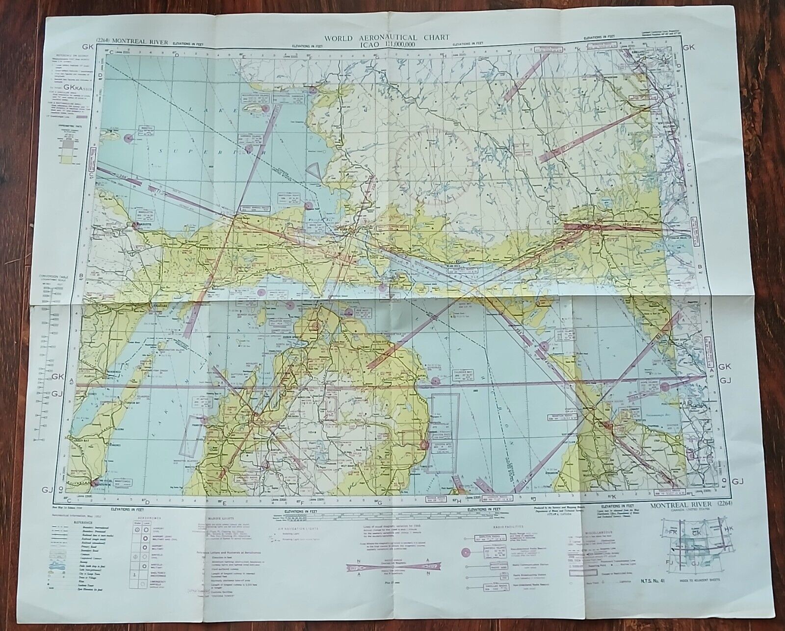
1952 Aeronautical Chart Map French River Ontario
$ 2.68
- Description
- Size Guide
Description
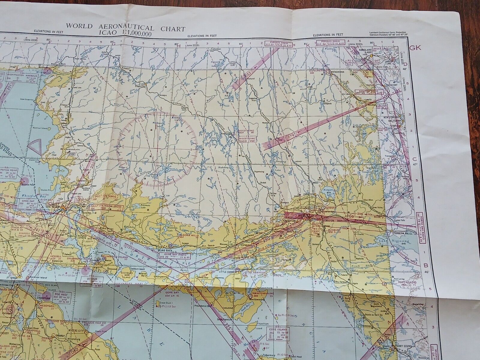
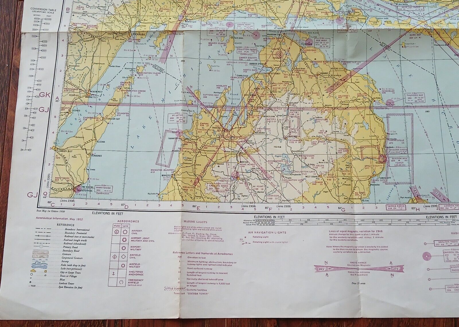
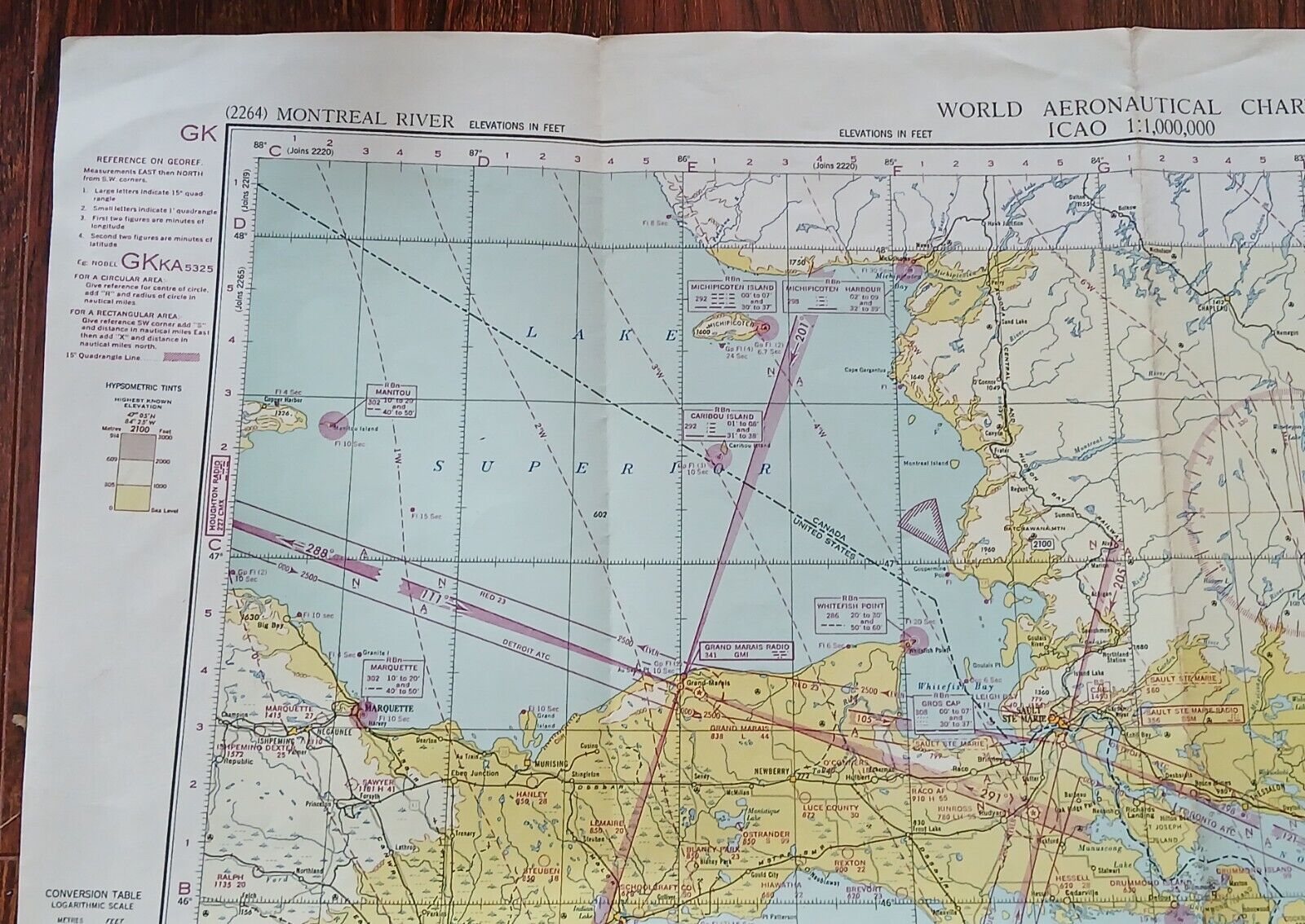
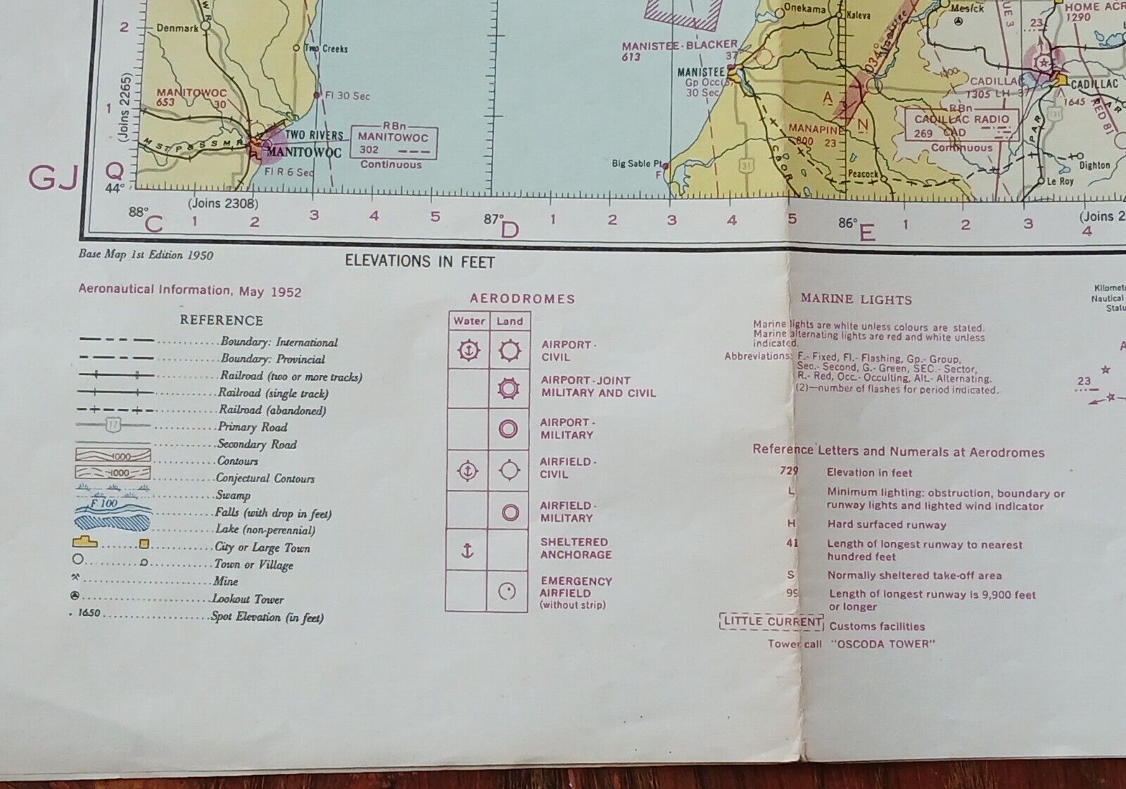
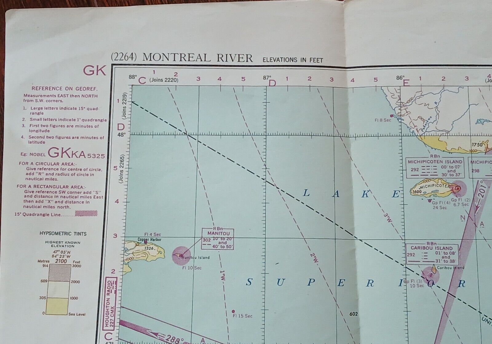
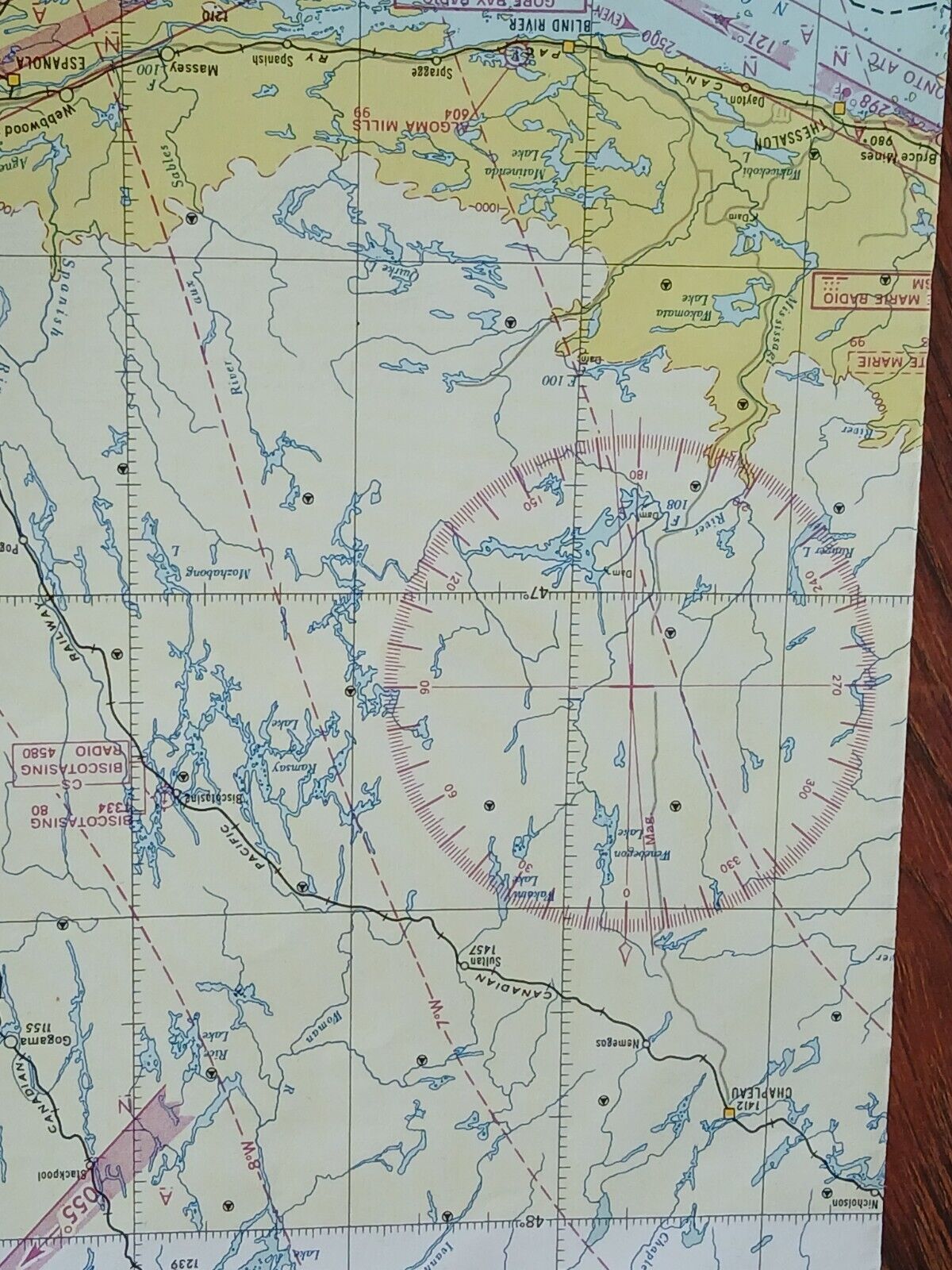
For consideration is a vintage paper map produced in 1952. This is a World Aeronautical Chart for French River and the northern area of Ontario and Michigan. It measures 30 inches by 26 inches. Small tears at the folds; age related grit & staining.The attached photos should provide a good visual description.
In order to save some costs for buyers, I generally ship via the cheapest method so this item will be folded to minimize those fees. Shipping fees in padded envelope &
untracked
as follows: Within Canada......00 To the United States......25 Remainder of globe......00
