-40%
1962 QUEBEC PROVINCE Official Highway Road Map Montreal Trois-Rivières Canada
$ 4.74
- Description
- Size Guide
Description
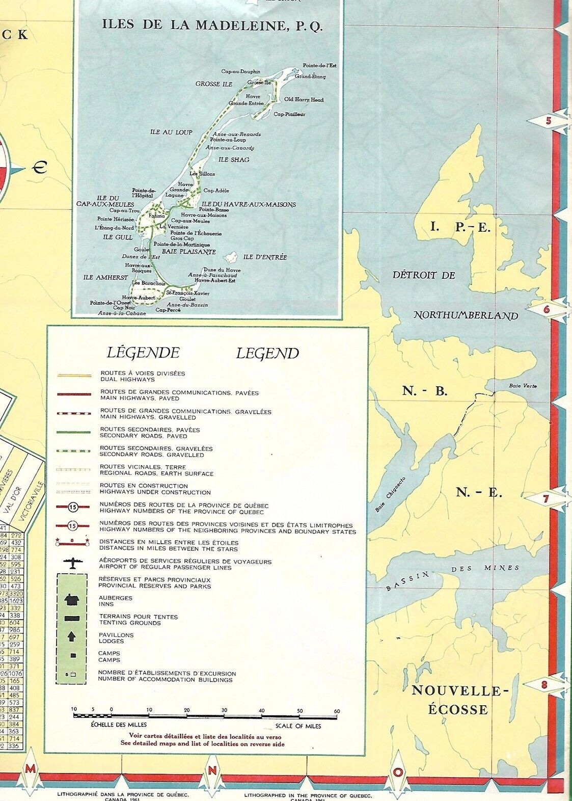
Large-format fold-out 1965 official highway map of the province of Québec, printed more than 58 years ago.This map opens to a generous 22" x 42" and has great detail on old road alignments.
It also locates airports, camps, tenting grounds, lodges, and inns, and there's an inset of the Magdalen Islands.
On the reverse side there's a map of the Montréal-Québec City area, along with inset plans of Juliette, Sherbrooke, Hull-Ottawa, Chicoutimi, Trois-Rivières, and Shawinigan.
The map was published by the Province of Québec Tourist Bureau in 1965 and is dated on the cover.
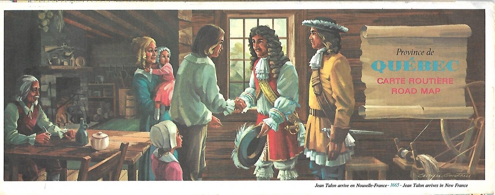
The beautiful cover artwork celebrates the 1665 arrival in Québec of the French colonial administrator Jean Talon.
Condition:
This official highway map is in very good condition, bright and clean, with
no
rips, tears, or writing. Please see the scans and feel free to ask any questions.
Buy with confidence! We are always happy to combine shipping on the purchase of multiple items — just make sure to pay for everything at one time, not individually.
Powered by SixBit's eCommerce Solution


