-40%
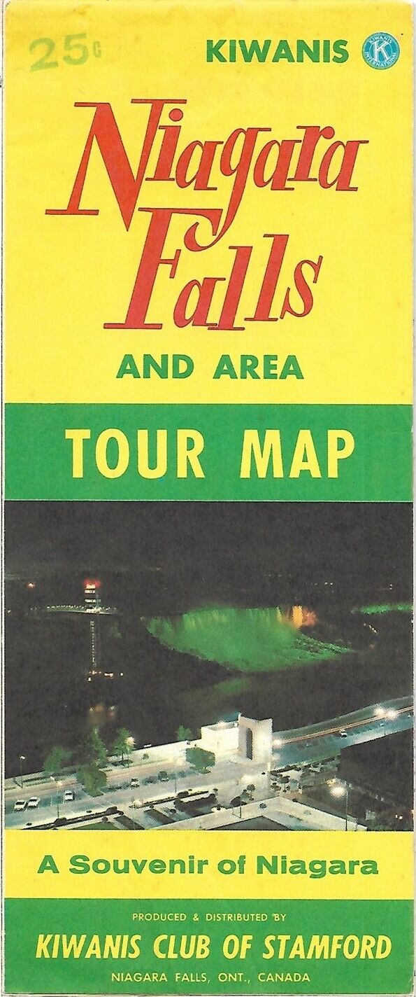
1968 KIWANIS CLUB Road Map NIAGARA FALLS Stamford Ontario Canada Seagram Tower
$ 4.21
- Description
- Size Guide
Description
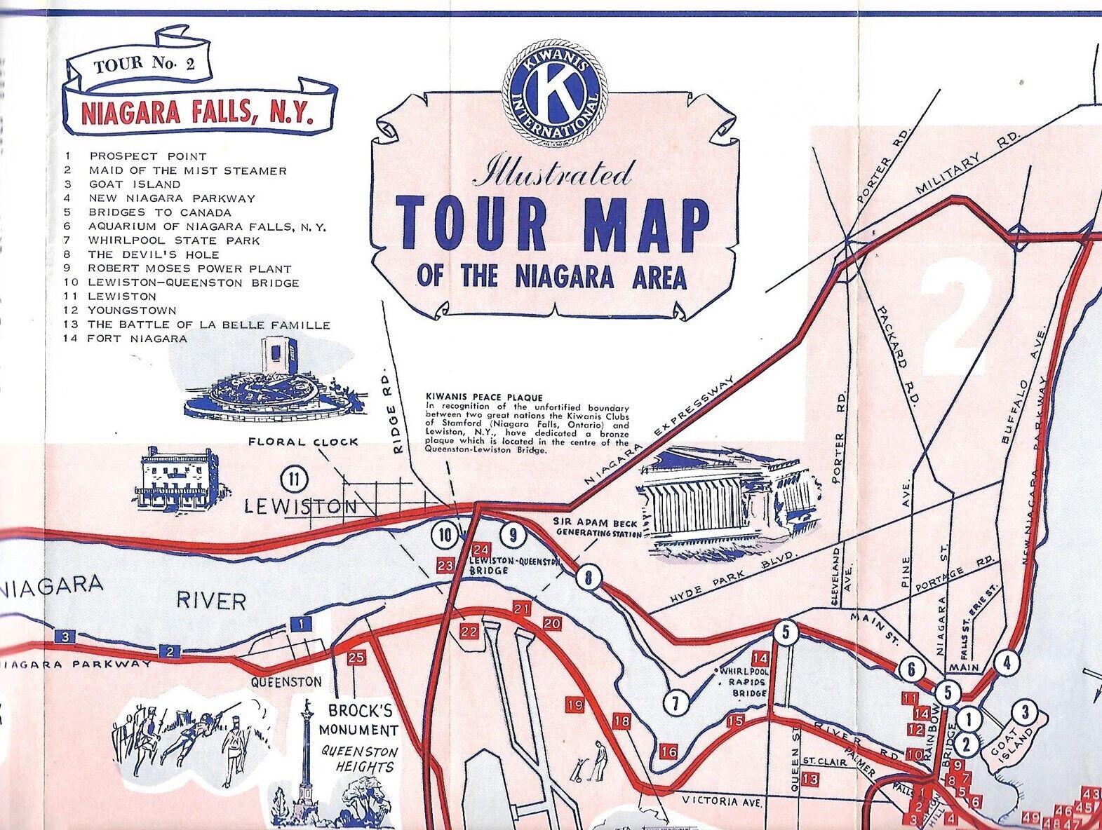
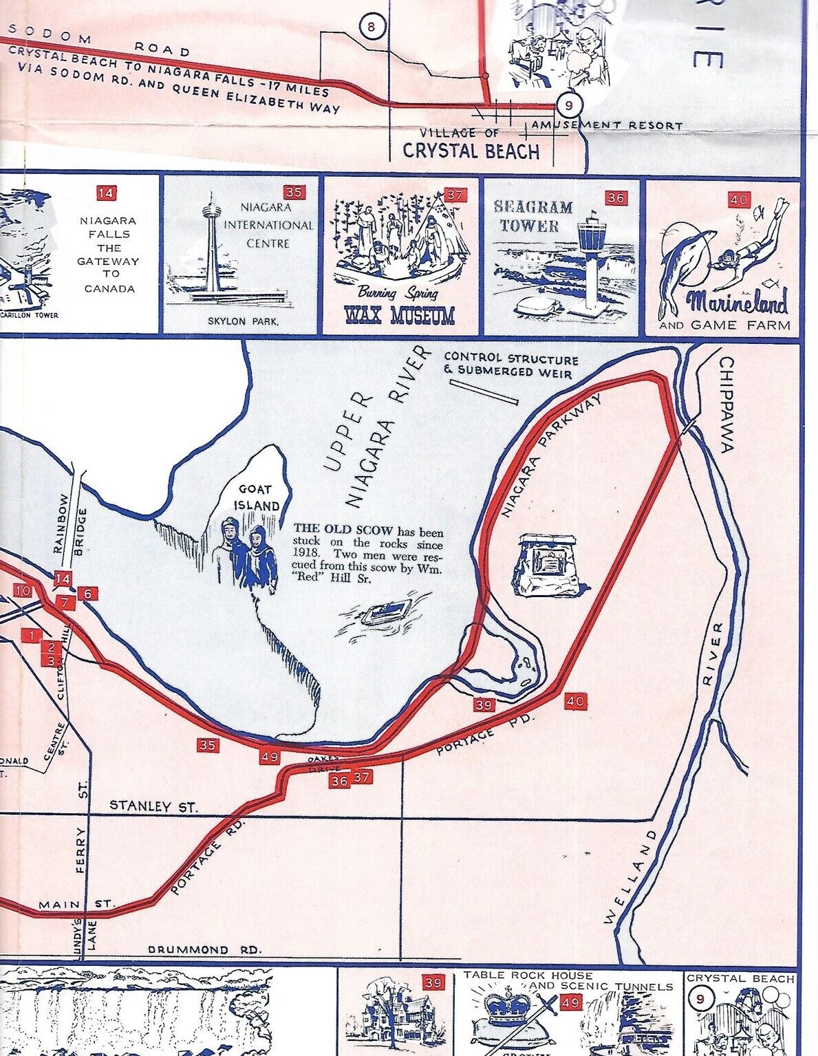
Large-format fold-out 1968 road map and tourist guide to the Niagara Falls area, published by the Kiwanis Club of Stamford more than 54 years ago.The map opens to a generous 19½" x 39½" and has great detail on old road alignments, scenic attraction, and suggested tours.
Among the places and features are Crystal Beach, Potvin Museum, Marineland, Seagram Tower, Thorold, Fort Erie, Niagara-On-The-Lake, Goat Island, Table Rock House, and Queenston House.
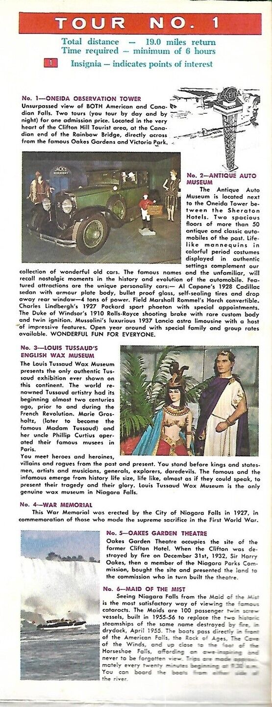
On the reverse side there is an inset map of the city of Niagara Falls and descriptions of attractions on the various tours.
Condition:
This map is in very good condition, bright and clean, with
no
marks, rips, or tears. Please see the scans and feel free to ask any questions.
The map was produced and distributed by the Kiwanis Club of Stamford, Niagara Falls, Ontario, Canada. It is undated and was published circa 1968 based on the status of various roads and attractions, including Seagram Tower, which was renamed Heritage Tower in 1969.
Buy with confidence! We are always happy to combine shipping on the purchase of multiple items — just make sure to pay for everything at one time, not individually.
Powered by SixBit's eCommerce Solution


