-40%
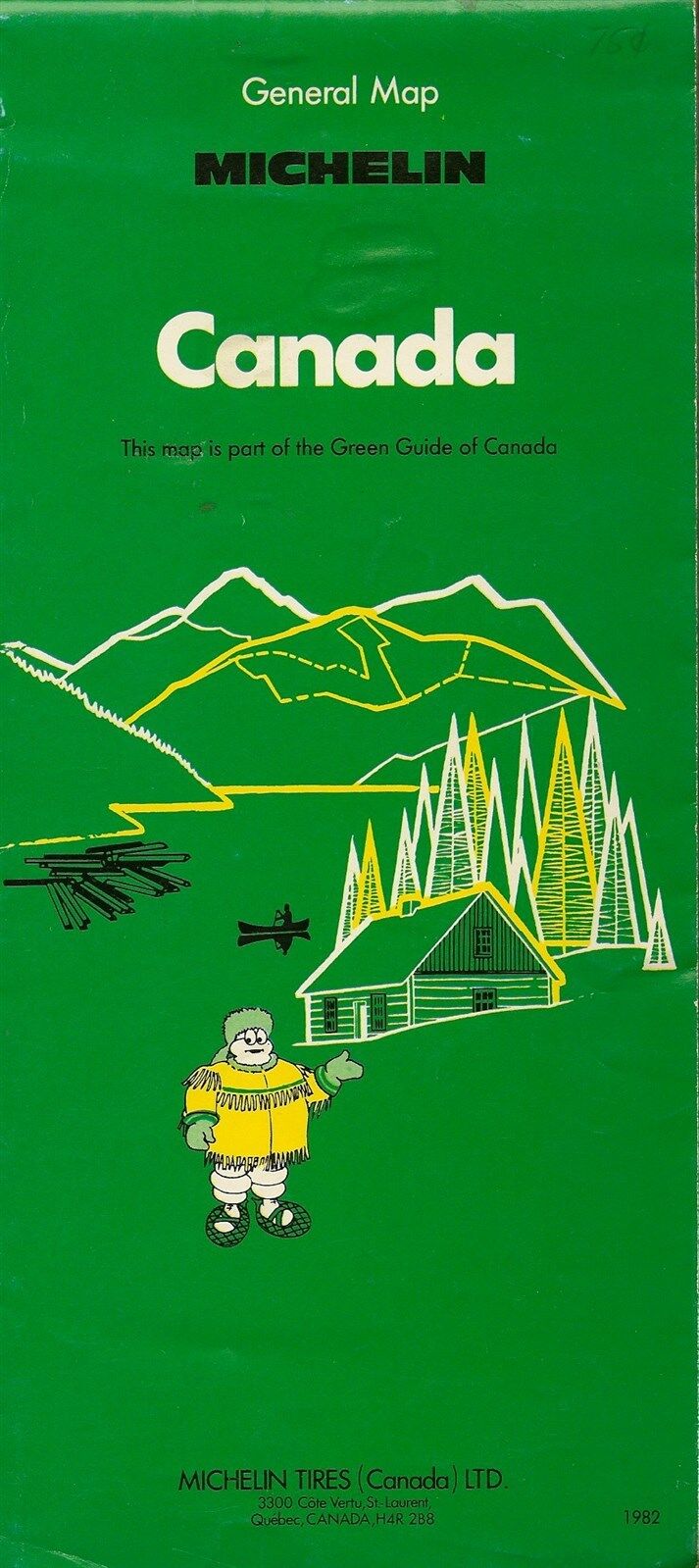
1982 MICHELIN TIRE Guide Map CANADA Highways Railroads Airports Bibendum Yukon
$ 2.63
- Description
- Size Guide
Description
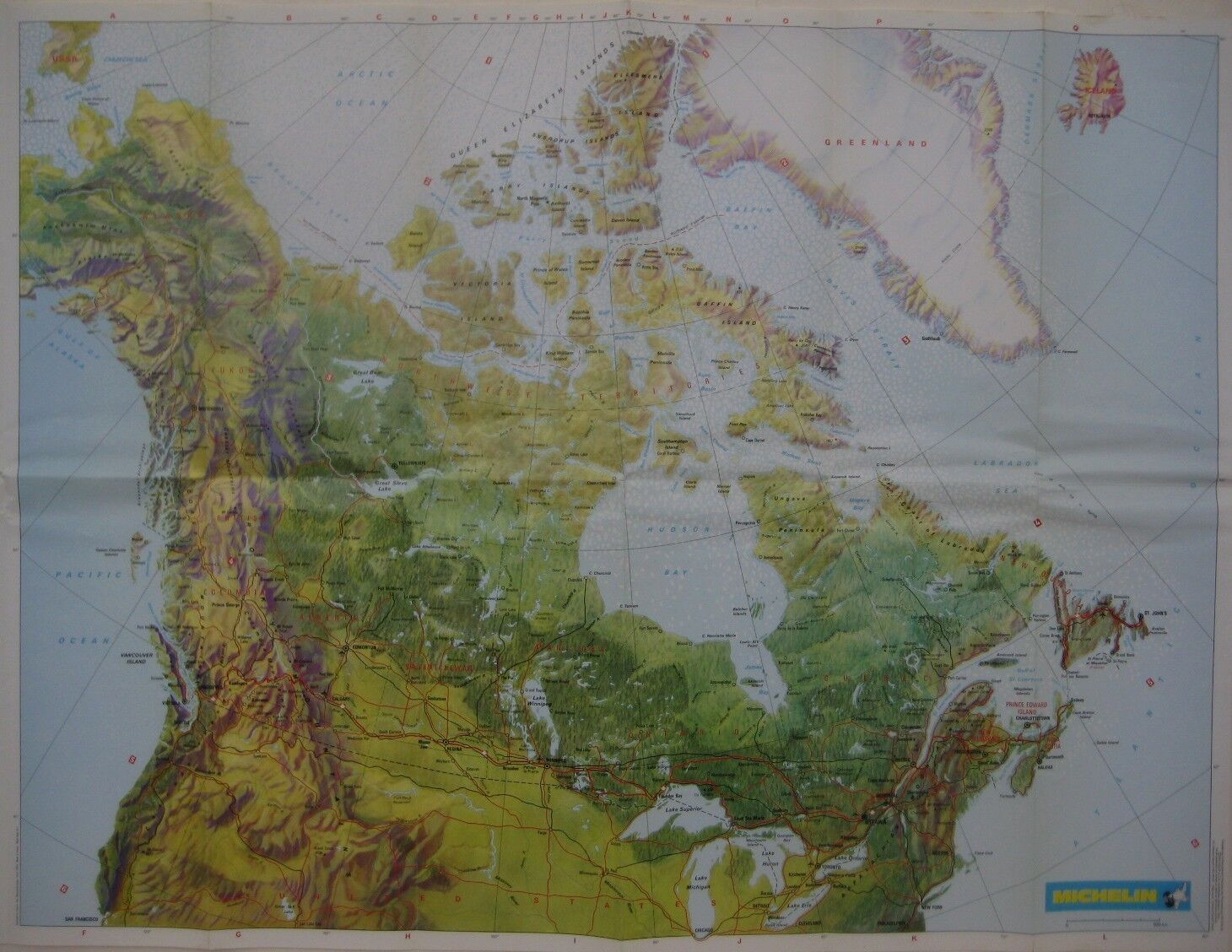
1982 MICHELIN TIRE Guide Map CANADA Highways Railroads Airports Bibendum YukonHandsome color lithographed fold-out map of Canada, printed more than 32 years ago.
This map opens up to 50 x 88 cm [19-3/4" x 34-3/4"] and shows provincial and territorial capitals, the Trans-Canada Highway and other major roads, frontiers, railways, and international airports. It labels the Yukon and Northwest Territories before the creation of Nunavut.
The map was published to accompany Michelin's Green Guide of Canada by Michelin Tires (Canada) Ltd. It is copyrighted © 1982 Michelin & Cie., Clermont-Ferrand, France in the margin, and includes an illustration of Bibendum — the jolly, rotund Michelin Man, first introduced in 1898 and one of the world's oldest and most recognized trademarks.
Condition:
This map is in very good, lightly used condition, bright and clean, with
no
marks, rips, or tears. It is blanks on the back, with no printing on the reverse side. Please see the scans and feel free to ask any questions.
Buy with confidence! We are always happy to combine shipping on the purchase of multiple items, and everything we sell comes with
our unconditional, money-back guarantee.
Powered by SixBit's eCommerce Solution


