-40%
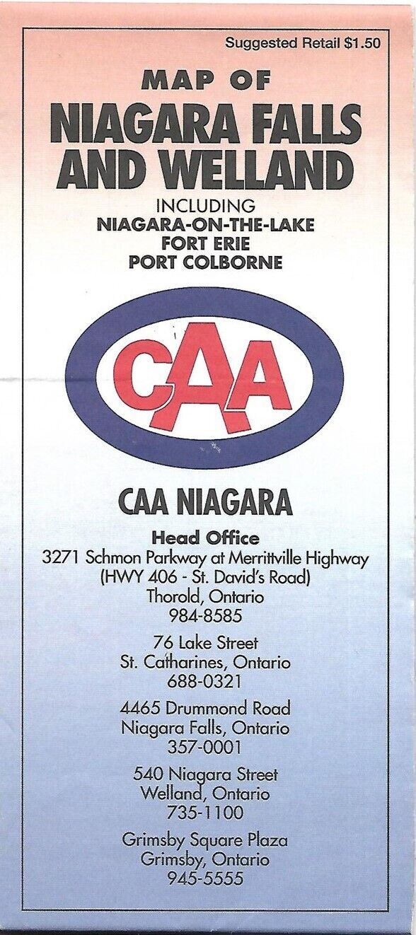
1993 CAA Road Map NIAGARA FALLS WELLAND Crystal Beach Fort Erie Ontario Canada
$ 2.63
- Description
- Size Guide
Description
Handsome large-format fold-out 1993 CAA road map of Niagara Falls and vicinity.This map opens to 22" x 34" and has good detail on old highway alignments and route numbers.
The coverage includes Welland, Fort Erie, Port Colborne, Douglastown, Stevensville, Niagara-on-the-Lake, Port Robinson, Dain City, Fonthill, and Niagara Falls.
This map was published by the Canadian Automobile Association and is copyrighted
© 1993
in the lower margin.
Condition:
It is in very good condition, bright and clean, with
no
marks, rips, or tears. Please see the scans and feel free to ask any questions.
Buy with confidence! We are always happy to combine shipping on the purchase of multiple items — just make sure to pay for everything at one time, not individually.
Powered by SixBit's eCommerce Solution


