-40%
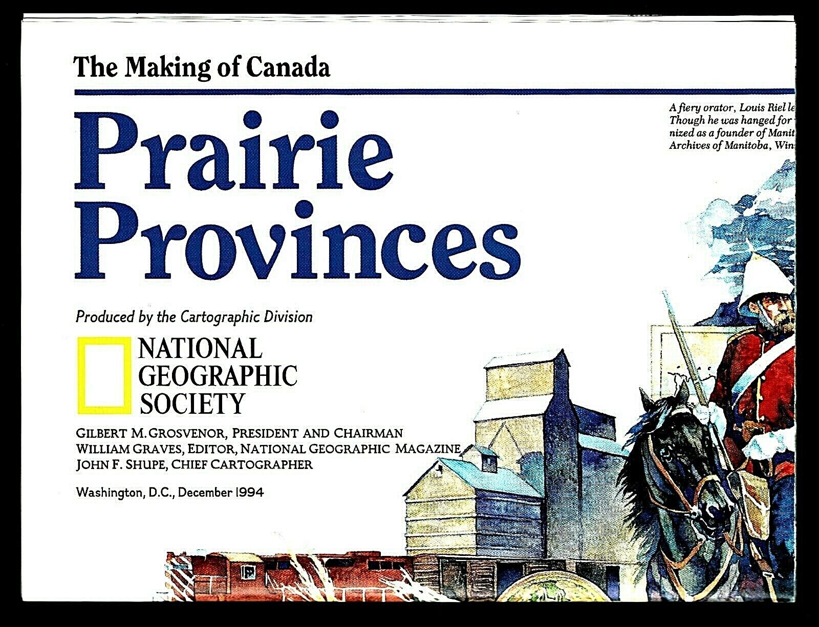
1994-12 December National Geographic Map PRAIRIE PROVINCES MAKING CANADA - B (A)
$ 1.84
- Description
- Size Guide
Description
1994-12 December PRAIRIE PROVINCES Making of Canada National Geographic MapCanada's Prairie Provinces: Alberta, Saskatchewan and Manitoba; the agriculture heartland of Canada. The map-side contains a National Geographic cartographic map of the three provinces, with notations about events and features. The reverse-side contains historical information about periods in history: 1500-1760 Indians and Fur Trade; 1760-1870 European Competitors; 1870-1940 Steel Rails & Settlers; 1940-Present Wheat, Wheat, More Wheat.
Map is approximately 20" x 27".
The National Geographic is known for it's fine maps & detailed information.
Supplement to the National Geographic Magazine; magazine is not included.
Always use your cart when purchasing more than one item.
FREE U.S. economy shipping, arriving with
letter mail
in
4-12 business days.
Available: Faster shipping via USPS Ground Advantage with tracking at extra cost (
make selection before payment
).
International shipping is available.


