-40%
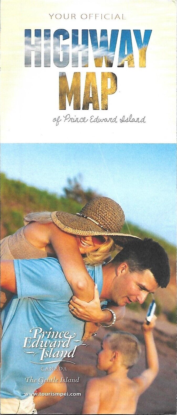
2012 PRINCE EDWARD ISLAND Official Highway Road Map Charlottetown Cows Creamery
$ 3.16
- Description
- Size Guide
Description
Large-format fold-out 2012 Prince Edward Island official highway map and tourist guide.This map opens to 21½" x 31" and has great detail on old road alignments and designations. It also locates golf courses, airports, marinas, and lighthouses.
On the reverse side there are inset plans of Cavendish, Summerside, and Charlottetown.
The map was distributed through Tourism PEI and is copyrighted
© 2012.
Condition:
It is in very good condition, bright and clean, with
no
marks, rips, or tears. Please see the scans and feel free to ask any questions.
There are a dozen or so display ads for local attractions, and the rear panel has a full-panel Cows Creamery ad promoting its Boomburger.
Buy with confidence! We are always happy to combine shipping on the purchase of multiple items — just make sure to pay for everything at one time, not individually.
Powered by SixBit's eCommerce Solution


