-40%
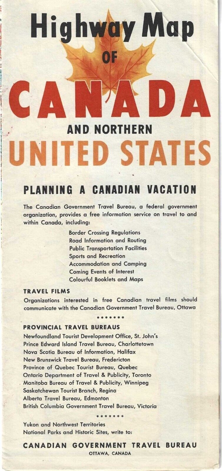
CANADA HIGHWAY MAP – 1958 – CANADIAN GOVERNMENT TRAVEL BUREAU
$ 1.05
- Description
- Size Guide
Description
CANADA HIGHWAY MAP – 1958 – CANADIAN GOVERNMENT TRAVEL BUREAUCANADA HIGHWAY MAP - Road Map for CANADA AND NORTHERN UNITED STATES, published in 1958 by the Canadian Government Travel Bureau, Ottawa, Canada. Large scale geographic and roadway map, two sided multi-color, with large scale area and city inserts for Canada and nearby areas of the United States. Map measures 4.75 inches by 10 inches (Folded) and unfolds to large size 20 inches by 38 inches
Map is in very good condition, small fold to front corner, small tape mark to interior corners, otherwise interior bright with no marks, soiling or aging evident.
Actual item offered is pictured in scan.
Shipping is .00 to all US Destinations.
Combined shipping provided for multiple items. Multiple items shipped at same cost as single item


