-40%

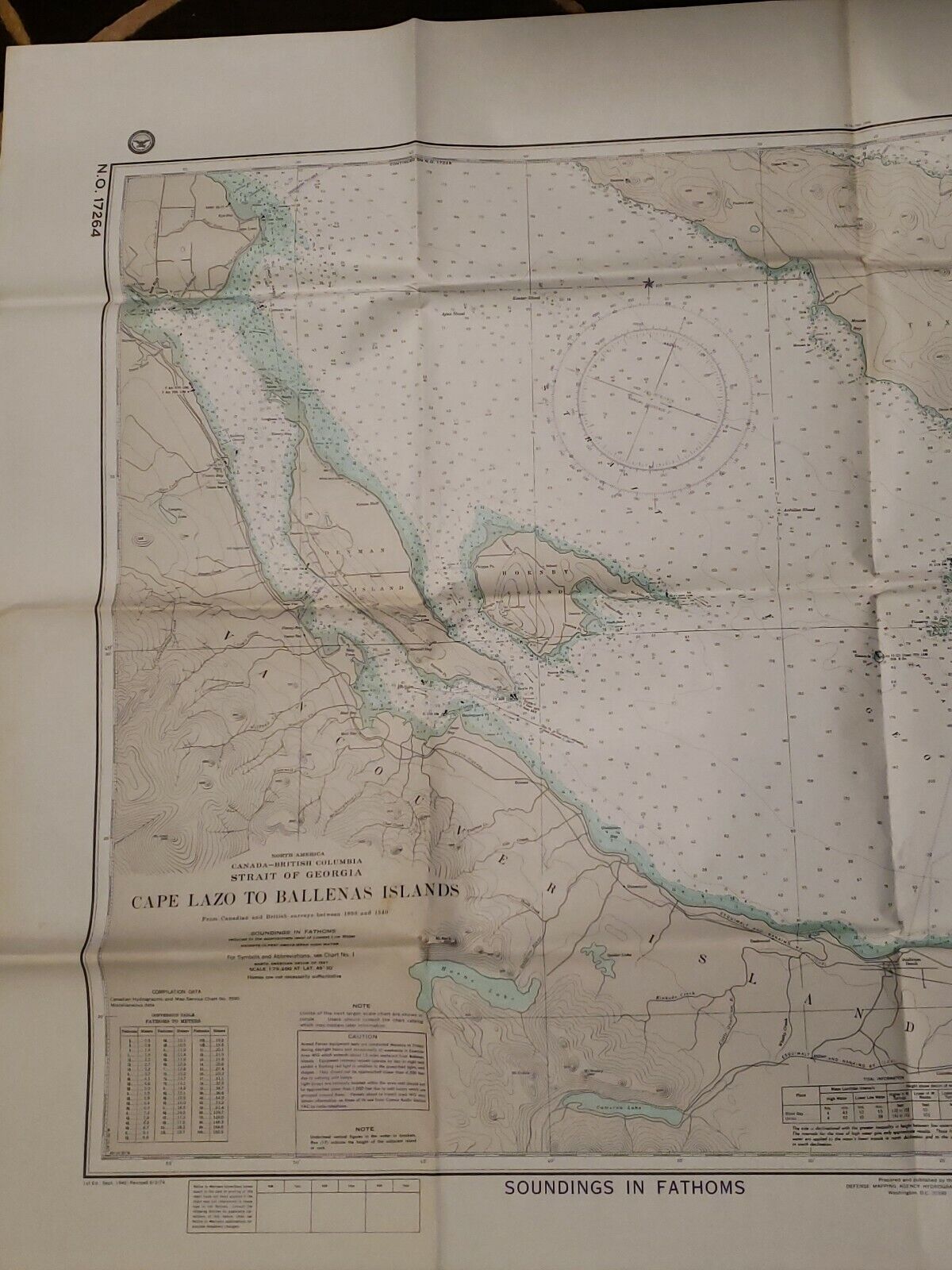
Map North America Canada British Columbia Strait Of Georgia, Cape Lazo Ballenas

$ 1.58

Availability: 70 in stock
  • Condition: Used
  • Country/Region of Manufacture: Georgia
  • Region: Canada

    Description

    Map of North America and British Columbia, Canada. Map of the Strait Of Georgia, from Cape Lazo to the Ballenas Islands. Revised 1974. Paper measures 31x45 inches. Some age spots are appearing on the paper and there are creases from being folded. Condition is "Used". Shipped with USPS First Class.