-40%
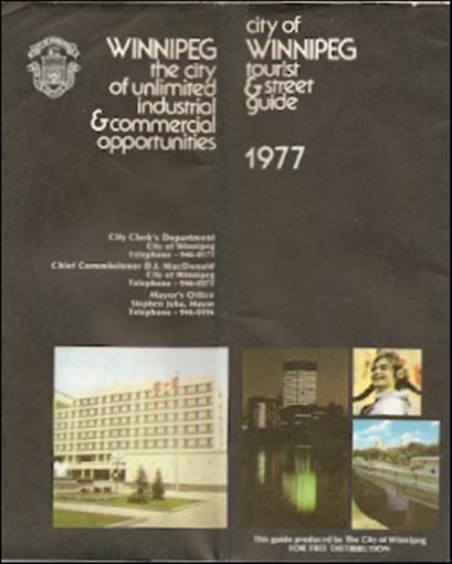
Official 1977 Road Map WINNIPEG Manitoba Street Index Railroads Velodrome Parks
$ 4.21
- Description
- Size Guide
Description
Official 1977 Road Map WINNIPEG Manitoba Street Index Railroads Velodrome ParksOfficial large-format fold-out indexed street plan of Winnipeg, printed more than 35 years ago.
This map opens to a generous 27-3/4" x 29-3/4" and has great detail on old road alignments. It also labels the Canadian National and Canadian Pacific Railways, the University of Manitoba, Pan-Am Veldrome, golf courses, stock yards, airport, cemeteries, parks, and points of interest. There's an extensive index to streets on the reverse side.
The map was published by the City of Winnipeg in 1977 and is dated on the cover.
Condition:
It is in very good, lightly used condition, bright and clean, with
no
marks, rips, or tears. We are pleased to offer it with
our unconditional, money-back guarantee.
Powered by SixBit's eCommerce Solution


