-40%
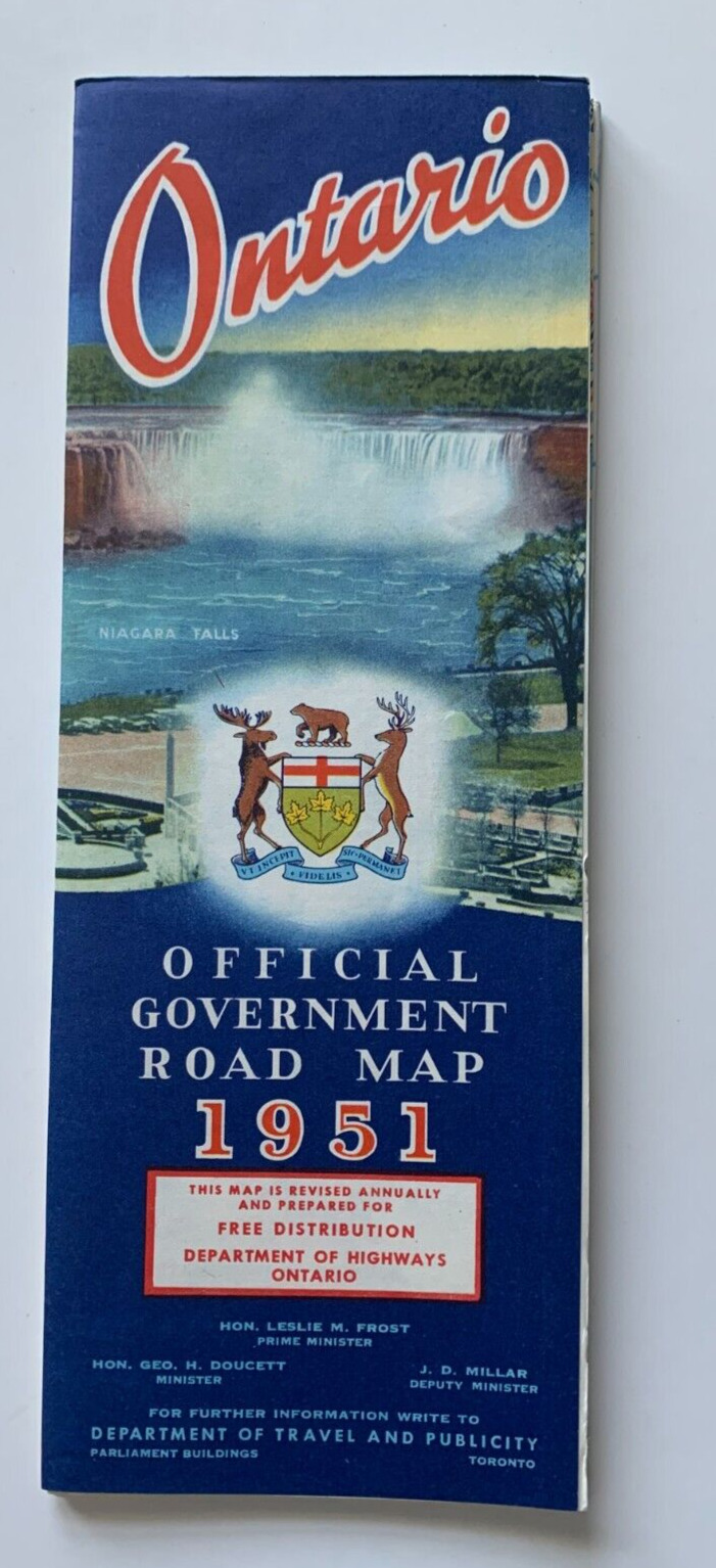
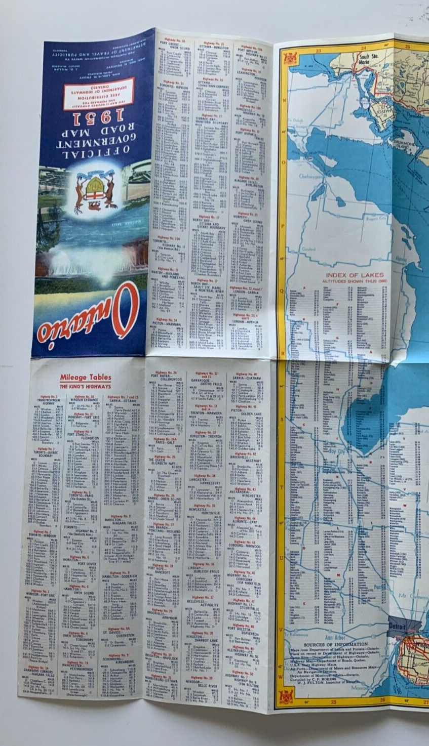
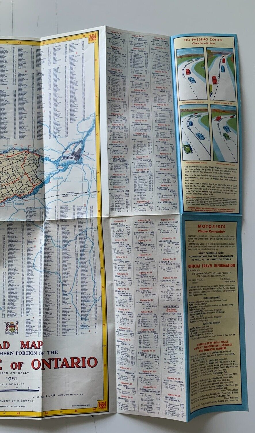
Vintage 1951 Ontario Canada Official Government Road Map large Dept of Highway
$ 6.85
- Description
- Size Guide
Description
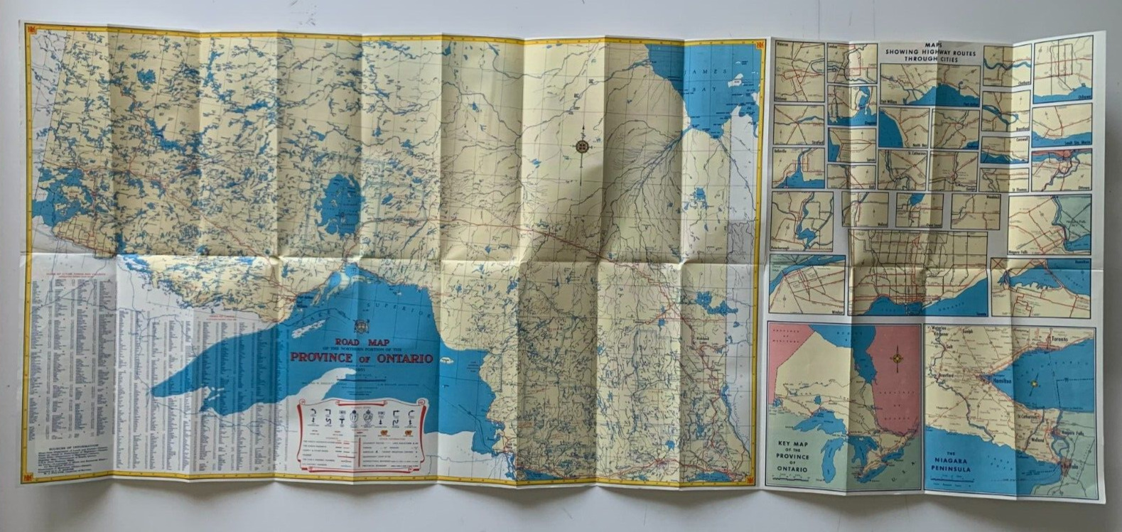
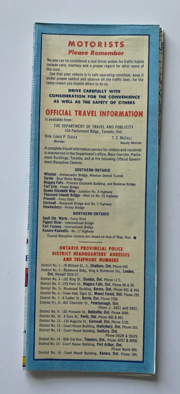
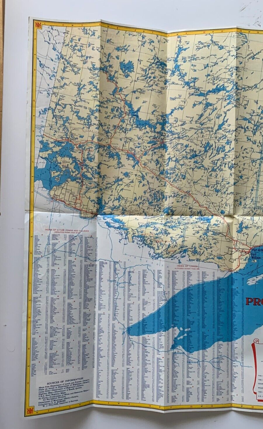
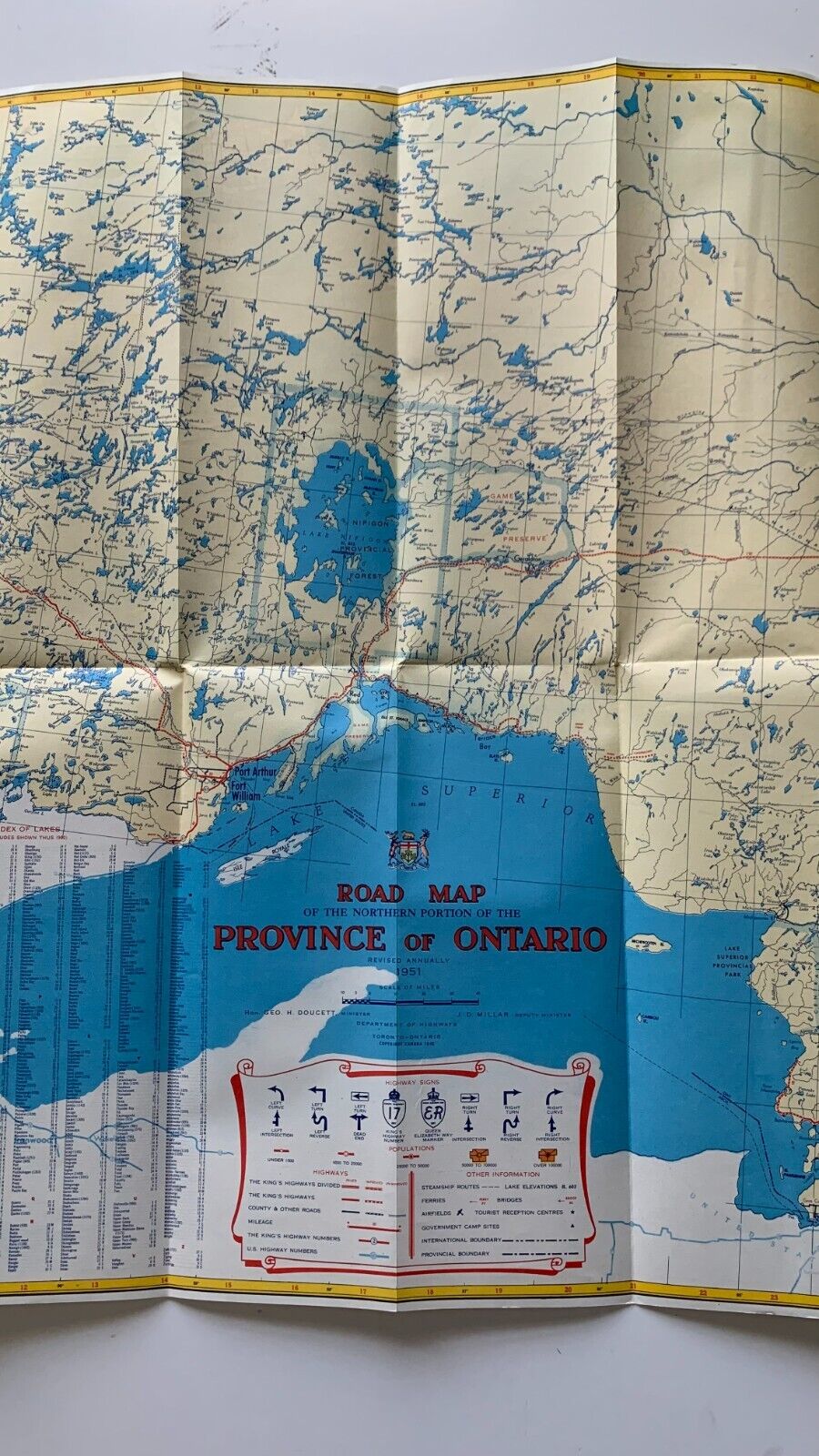
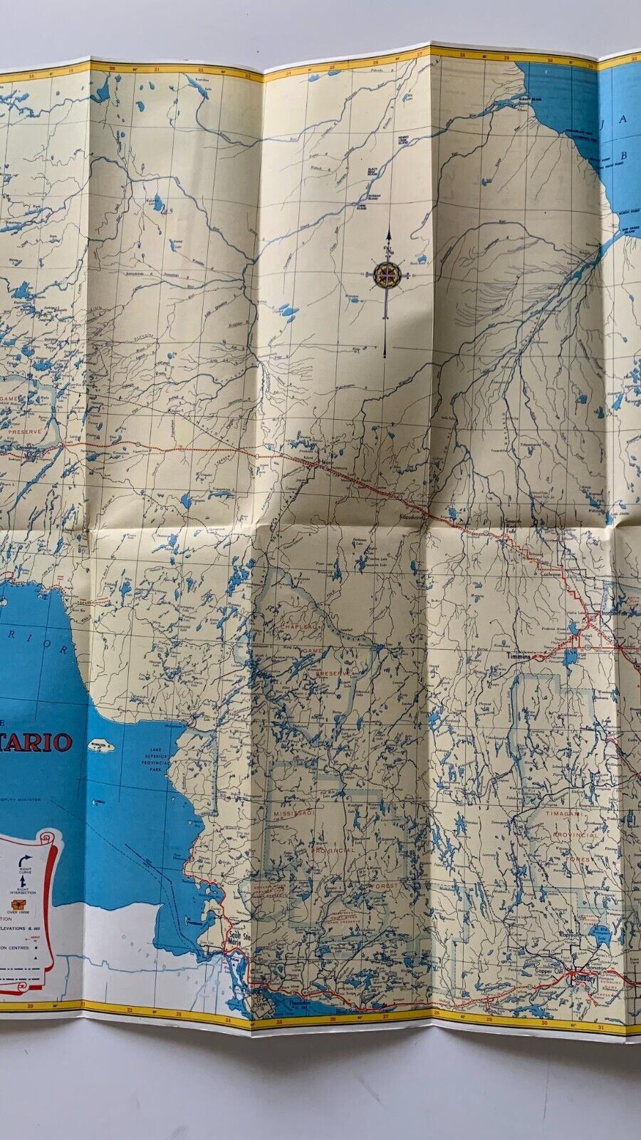
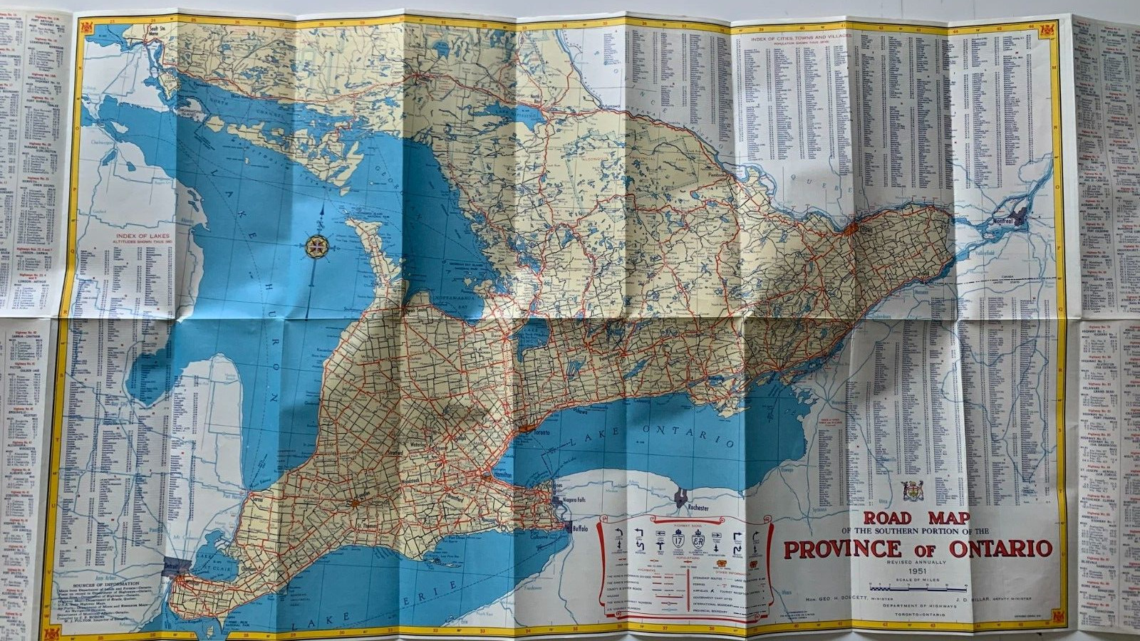
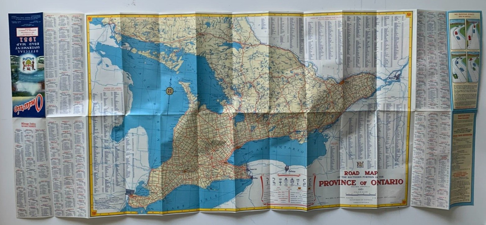
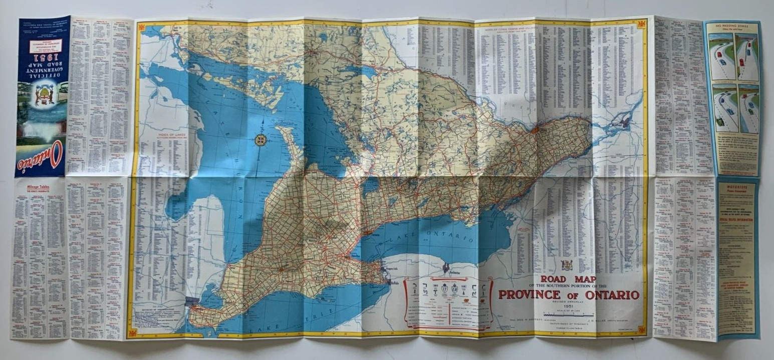
Vintage 1951 Ontario Official Government Road Map(Ontario Department of Highways, 1951; single fold-out sheet, printed on both sides; measures 3.5 x 9.5 inches folded/45.5 x 19 inches)
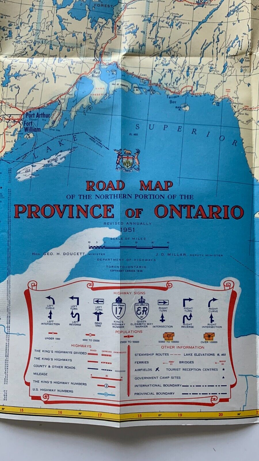
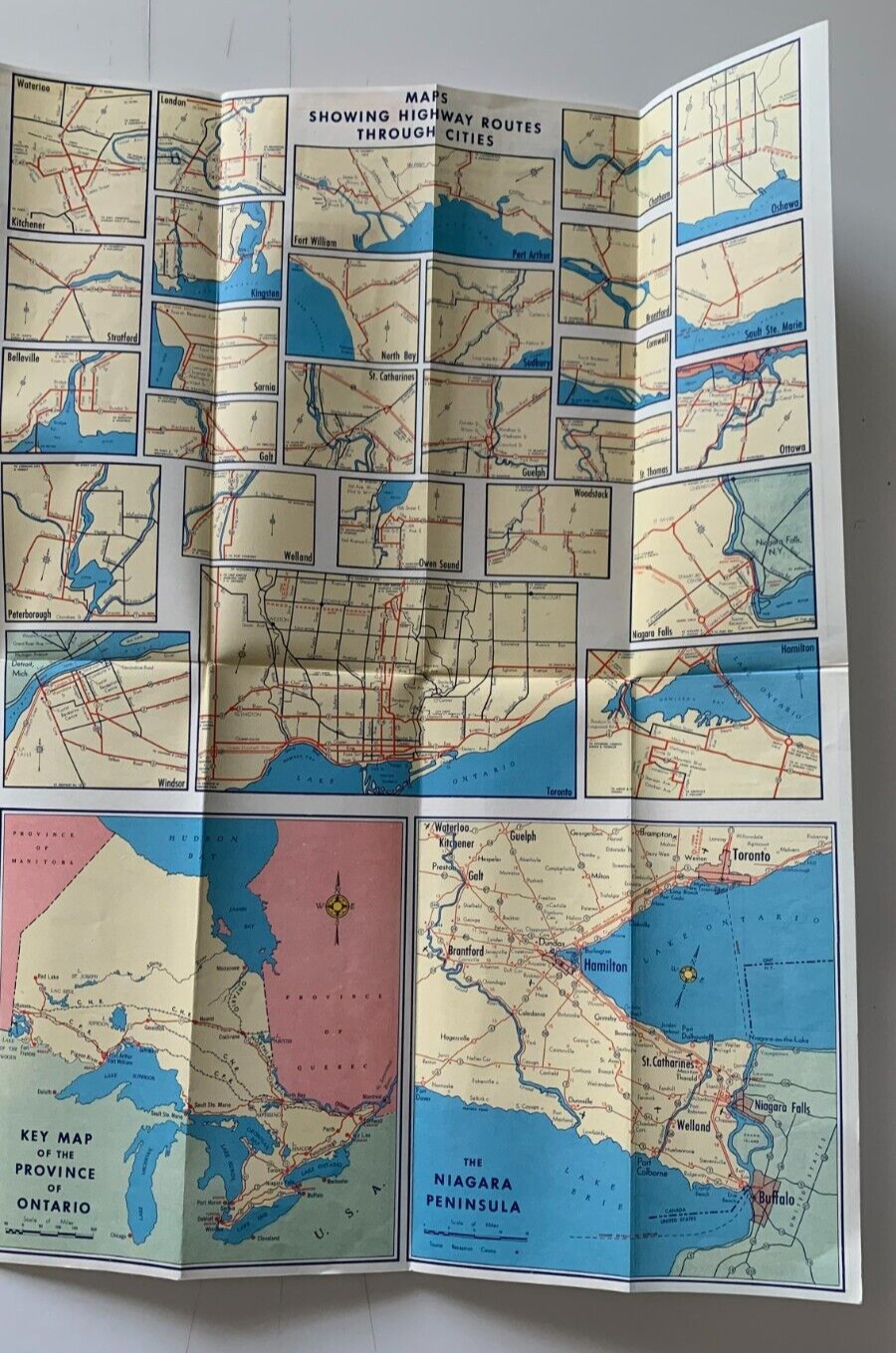
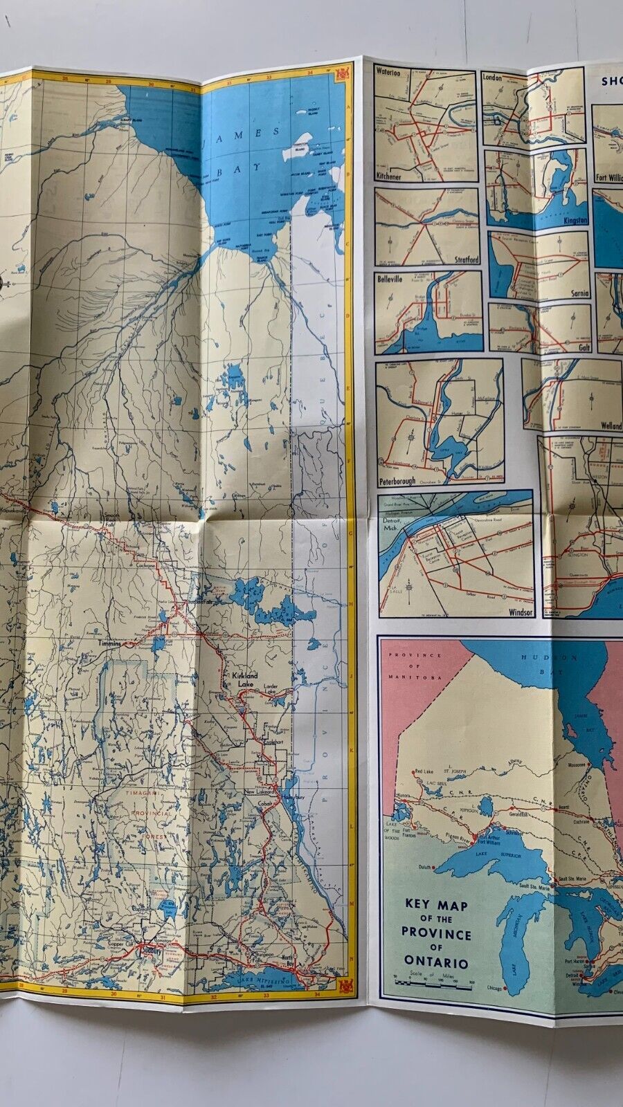
A large vintage fold-out province Department of Highways road map of Ontario. First side displays the Southern portion of Ontario. With an index of towns/cities, index of lakes and highway mileage tables. Verso (opposite side) displays northern portion of Ontario. Also with an index of towns/cities, index of lakes and a series of small inset maps displaying highway routes through various cities.
Shipping via USPS Ground Advantage within 1 business day of receiving cleared payment. Each item sold is carefully packed in a cardboard box/bookfold for shipping.
Please see shipping section for multi-item shipping discount (you must use Shopping Cart function to make all purchases at the same time)
Please carefully review the international shipping charges PRIOR TO BIDDING OR INITIATING A PURCHASE. I will not ship any merchandise outside the U.S. without the required US Customs form that notes the actual sales price.
